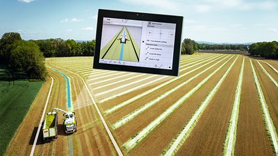
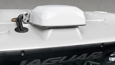
Guidance by GPS PILOT.
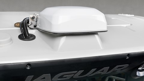
The GPS PILOT uses satellite signals to steer the JAGUAR reliably and with unbeatable precision along parallel tracks, curved contours at the crop edge, or reference lines defined by the operator. It is possible for the operator to make use of the full working width and to reduce overlaps to a significant degree. Unaffected by light conditions, it works at night or in low visibility just as precisely as it does in full daylight. You receive correction signals for whichever degree of accuracy you require. Existing GPS track lines in ISO XML format —produced by a swather during grass harvesting or generated during maize sowing, for example — can be used with the GPS steering system of the JAGUAR.
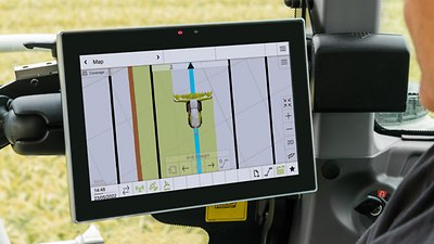
- The brilliant 12" display is easy to read by day or night.
- All the relevant functions can be accessed quickly via the touchscreen.
- You can adapt the working areas in line with your requirements and configure them freely.